![]()
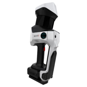
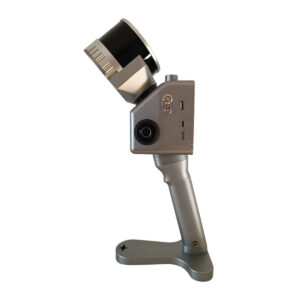
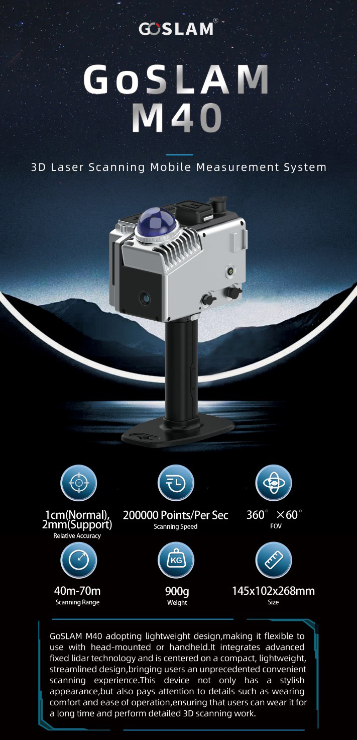
GoSLAM M40
Manual laser scanner (SLAM)
- LiDAR FOV laser unit
- Compact and very light (0.9kg)
- Range up to 70m
- Up to 200,000 pts / second
- Absolute accuracy of 5cm, without control points
- Relative accuracy of 1cm
- Dot cloud density 2mm
- Upgradeable external module with two 36Mpx panoramic cameras
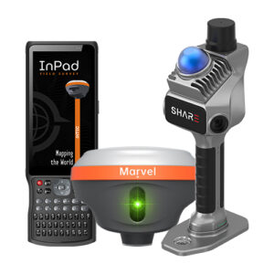
- Centimetre-accurate GNSS RTK module (adaptive)
- Up to 90 minutes battery life
- RGB point cloud display, in real time
- Includes field APP and post-processing software, with high density interpolation algorithm (2mm).
Description
Handheld laser scanner for fast measurements and LiDAR point cloud creation. The compact SLAM with best price / performance ratio


Specifications
PHYSICAL PARAMETERS
| Weight | 0.90 kg (with battery) |
| Battery | 14.4V 3150 mAh |
| Charge | USB-C 30W (Fast Charging) |
| Storage | 256 Gb (SD card) |
| Level of protection | IP54 |
| Working temperature | -20 ℃-55 ℃ |
| Transport platform | Manual |
| Working modes | Pure SLAM, Checkpoints and RTK |
LASER UNIT
| Detection range | 40m@10%, Maximum range 70m |
| Relative accuracy | 1 cm |
| Absolute precision | 5 cm |
| LiDAR FOV | H: 360º - V: 60º H: 360º - V: 60º H: 360º - V: 60º H: 360º - V: 60 |
| LiDAR class | Class 1 |
| Point rates | 200,000 points/sec |
GNSS UNIT (POS)
| RTK | Adaptable |
| RTK accuracy | H: 0,8cm + 1ppm - V: 1,5cm + 1ppm |
CAMERAS
| Resolution | 2 x 12 Mpx |
| Field of vision | Horizontal: 360° x 270° Horizontal: 360° x 270° Horizontal: 360° x 270° Horizontal: 360° x 270 |
| Shooting mode | Isochronous |
OTHER CHARACTERISTICS
| Dot cloud format | .las, .pcd, .ply |
| Processing method | Real-time and Post-processing |
| APP phone | Real-time RGB point cloud support (Android and iOS) |
| PC software | Supports one-click processing for RGB point clouds and image overlay and point cloud panoramas |