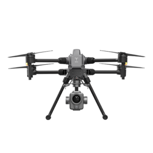
Description
Laser scanner for mass data capture and LiDAR point cloud creation.
Weight | 1,4 kg |
Measuring accuracy | Less than 0.1 m at 100 m |
Working temperature | -20 ℃ ~ 55 ℃ |
Power range | 12V-24V |
Consumption | 20W |
Transport platform | Drone and ground vehicle |
Storage | 64 GB storage, 128 GB TF card maximum support |
Measuring range | 80m @ 10% Reflectivity, max range 120m |
Laser class | 905nm Class 1 (IEC 60825-1:2014) |
No. Channels | 16 channels |
Range accuracy | ±1 cm (typical value) |
Scanning frequency | 10 Hz, 20 Hz |
Data | Double echo 640,000 Points/Sec |
Field of vision | 360°, adjustable |
Laser sensor | HESAI XT16 |
Update frequency | 200 Hz |
Header accuracy | 0.040° |
Pitch accuracy | 0.015° |
Rolling precision | 0.015° |
Position accuracy | ≤0,05 m |
GNSS signal type | GPS L1 / L2 / L5 GLONASS L1 / L2 BDS B1 / B2 / B3 GAL E1 / E5a / 5b |
Field software | Departure information: position, speed, altitude |
Post-processing software | Output point cloud data format: LAS format, custom TXT format |
Trigger | Distance or time trigger |
Effective pixel | 26 mPX and 83-degree field of view |